My Travel World
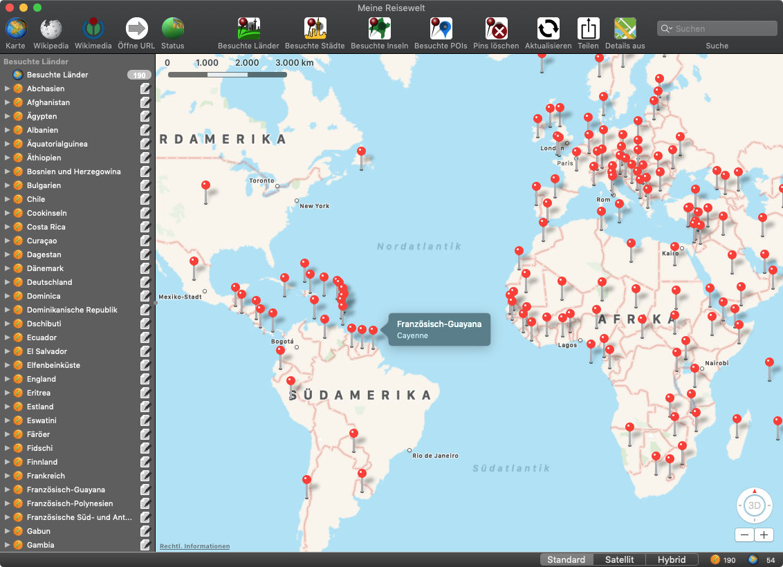
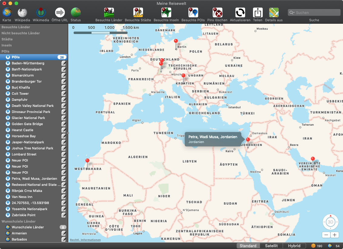
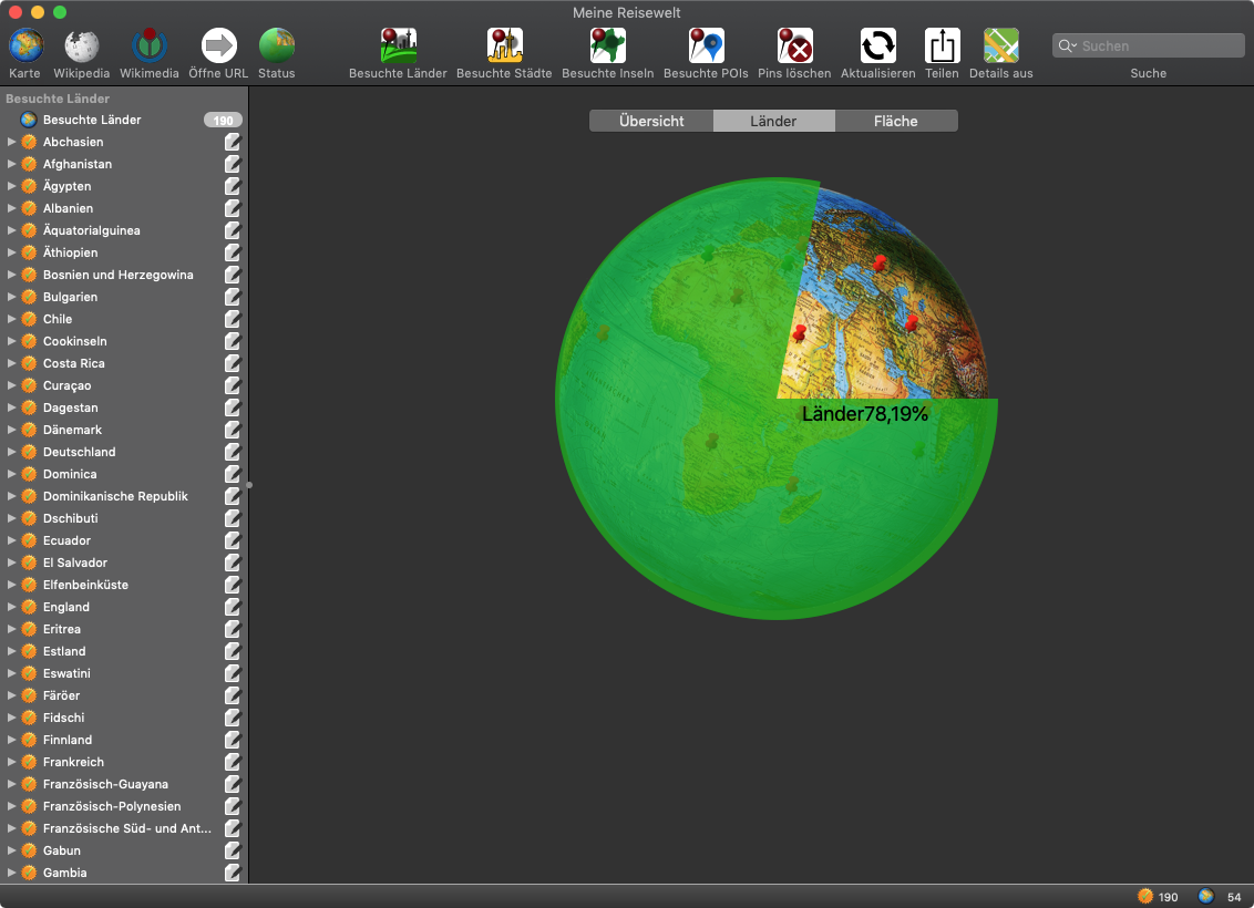
With “My Travel World”, you can mark all the countries, cities, islands and POIs that you have already visited in the application. This gives you an overview and statistics of how many countries you have already visited. All countries, cities, islands and POIs can be marked and displayed on a map. The application shows in the statistics what percentage of the countries or what percentage of the earth's surface you have already visited. In addition, you will receive additional information about the country. It connects directly to Wikipedia and Wikimedia. You can share the current status of the visited countries, islands and POIs with your friends via e-mail, messages or any sharing service.
Features
• Mark visited country
• Add first and last visit date for each country
• Status of visited countries (in number and in area), cities, islands and POIs
• The following data can be shared via email, messages (iMessage), AirDrop, Twitter, Facebook or Flickr:
• Currently displayed map with or without pins
• Map with the complete overview of all visited countries, islands or PINs
• Status of the visited countries as text
• Status of the visited countries in relation to all countries as text and with graphics
• Status of the visited countries in relation to the areas of all countries as text and with graphics
• Current Wikipedia window
• Current Wikimedia window
• The statistical data of the countries with the national flag
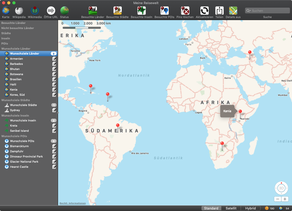
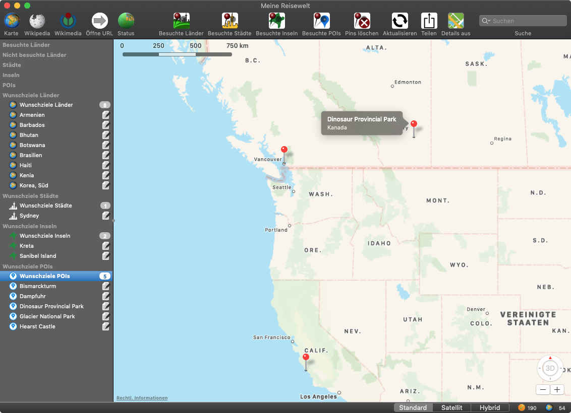
• Any number of cities, islands and POIs (Points Of Interest => points of interest) can be added for each country
• The first and last date of visit can be added for each city, island or POI, along with a user-specific link
• The coordinates (longitude and latitude) can be entered for better positioning of the pins for POIs
• Connections to the map, Wikipedia and Wikimeda are automatically established for each country
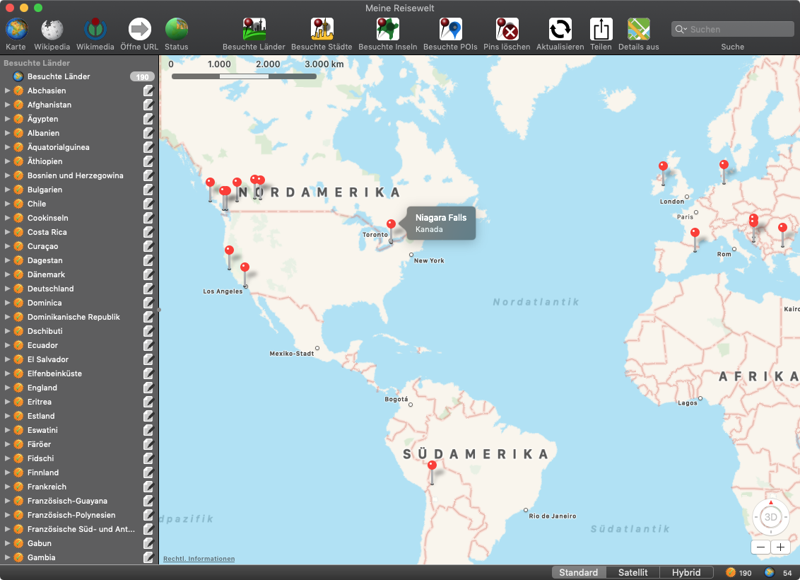
• When a country, city, island or POI is selected, the corresponding map is always displayed and a pin is set
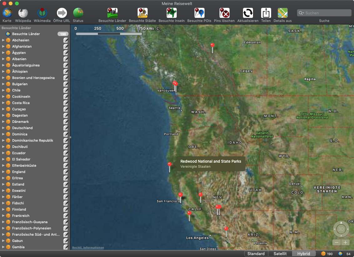
• Map display: standard, satellite, hybrid
• Display of the world map with representation of all visited countries, islands or POIs
• Support for Retina Display
• Support for macOS Dark Mode
• Support for full screen mode
• Support for Touch Bar
• Status bar additionally displays the number of visited and unvisited countries
• List of all visited countries
• List of all visited islands
• List of all visited POIs
• Copy list of all visited countries to clipboard
• Copy list of all visited islands to clipboard
• Copy list of all visited POIs to clipboard
• List of all visited countries with details
• List of all visited islands with details
• List of all visited POIs with details
• Export list of all visited countries, cities, islands and POIs as text file
• Export list of all visited countries as text file
• Export list of all visited islands as text file
• Export list of all visited POIs as text file
• Export list of all visited countries, cities, islands and POIs as Excel® XLSX file
• Export list of all visited countries as Excel® XLSX file
• Export list of all visited islands as Excel® XLSX file
• Export list of all visited POIs as Excel® XLSX file
• The following information is available for each country:
• Country name
• Long country name
• Capital
• Population
• Area
• Population per km²
• Country code according to ISO 2 and ISO 3
• Country ISO number
• TLD (Top Level Domain)
• Country name in English
• National language
• Visited status
• First visit
• Last visit
• National flag
